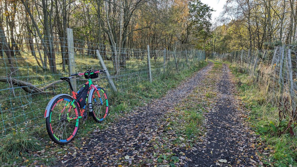
Unique hunting again today, just the one and that one involved quite a considerable amount of effect to reach. The zone in question is OldCampWood, one of the most elevated and exposed in Midlothian, out with the Pentland Hills, at a height of around 240 meters. And its a long hard slog on the bike all the way from the house in Bonnyrigg. The “old camp” in the zone names relates to the Iron Age hill fort seen further eastwards along the track you are following.
Thinking I might as well “turf” Gorebridge along the way, my route first took me through Gorebridge, grabbing the zones along the upper reaches of the town. This would place me in a good position to join the road to Vogrie, before veering left onto a minor road for the climb up to Camp Hill Wood. I did consider approaching from the opposite side, following the old tracks from around Gowkshill Farm. However, I’ve been that way before and it’s through the site of old quarry and lime workings and can be really manky at this time of year.
The track to OldCampWood zone is an old cart track and leads through fenced-off small holdings with goats, donkeys, kelpies and racing pigeons. I recalled there are a number of metal gates along the track but all were unlocked this time. On my previous visit one of then was padlocked. You may notice some stone-built ruins which I initially thought might be a castle or tower but are actually the remains of a disused lime kiln. And that also explains what was quarried here, limestone, to make lime for the fields in days gone by.
With the zone taken, I retreated back the way I come and zoomed off down the hill to Gorebridge, picking up my usual zone-bagging circuit of the town, also taking in Gore Glen and the Prestonholm area, finally ending at zone BlowLoun near Dalhousie Castle, before heading for home. Overall, a good day out on the bike, chilly on the exposed hill top but a job well done with another unique ticked off the list. Back soon.
Copyright ©2023 Gary Buckham. All rights reserved.


